
CHAIN BRIDGE: Arlington, Don't Blame Me
 I SWEAR, I SWEAR, I was at the office this afternoon when the main water line serving Arlington County burst underneath Chain Bridge, certainly annoying thousands of people who didn't have water on both sides of the Potomac. My co-workers can tell you I was at the office. But if you look at my Flickr account, you might see a slideshow of the area near Chain Bridge with photos taken today. At the crack of dawn, I went hiking in the rock-strewn bog adjacent to Chain Bridge in the Potomac River gorge. I haven’t been sleeping well lately (woke up around 5:30 this morning and couldn’t get back to sleep), so I decided to go hiking in one of my favorite spots in the District.
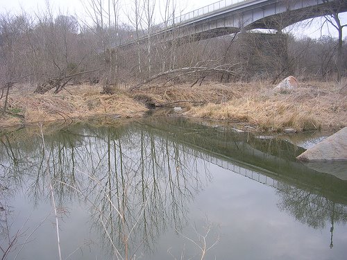
 Now this area doesn’t look like it’s in the city, but indeed, Chain Bridge is in the District, but it’s nearly in Maryland. But you might as well be in some remote place in the mountains. It is at Chain Bridge where the Potomac hits its first cataract, Little Falls. When the water runs high -- and it isn’t right now -- the bogs, rivulets and streams between the Potomac River and the C&O Canal can become littered with debris from upstream. It’s been like this for millions and millions of years as the Potomac carved its way to what’s now the Chesapeake Bay.
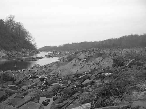 Like along other stretches of the Potomac -- like Great Falls -- the National Park Service warns of the dangers of hiking on the rocks. While this area is somewhat tame and a short trail leads from the canal towpath, it is still pretty rough traveling. I made a Wayfaring map if you should ever find yourself in the area. Random fishermen head down there -- and leave their remains. (This morning, I found some Tecate cans.) It’s a natural wonder. But it takes some vigilance to get there if you don’t have a car. Fortunately, I had a borrowed car and parked in the parking area off Clara Barton Parkway, just west of Chain Bridge.
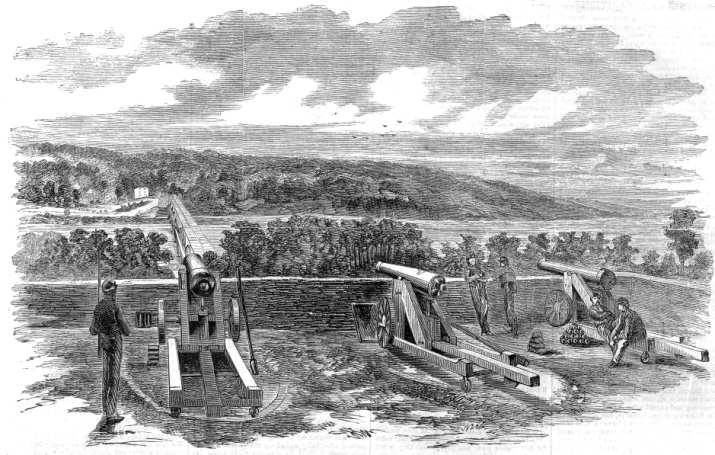
 While the bridge’s superstructure is indeed of a more modern time, the bridge piers date back to the 19th century. Chain Bridge has a fascinating history. Before there was a bridge, there was a small gristmill at Pimmit Run on the Virginia side of the river. When the British burned Washington in 1814, it was at this mill where the Declaration of Independence was stashed away in sacks of flour for safekeeping. When the bridge was built, it was part of the road linking Georgetown to Fairfax (today’s Route 123/Chain Bridge Road). During the Civil War, forts protected the bridge on either side of the river, including some artillery batteries up on the Palisades, one just down the way from my great aunt’s house. Last fall when I was hiking down near the bridge, I found graffiti dating to the late 1880s, which I think is pretty cool. Newer graffiti (closer to the site of the burst pipe) I found this morning says “Save the Children.” I don’t think Borf ever made his way down here, however.
>> Photos of the rock-strewn bog near Chain Bridge from last fall.
>> This morning's photos


0 Comments:
Post a Comment
<< Home